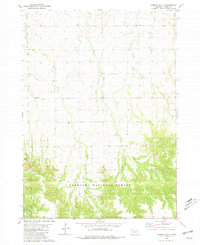
1980 Map of Chimney Butte
USGS Topo · Published 1981About this map
Nebraska National Forest encompasses the southern portion of this landscape, where the terrain transitions into the high ridges and deep drainages of the Pine Ridge region. Published in 1981 based on 1970s fieldwork, the map reveals a sparse ranching and agricultural community centered around vital water sources like Ash Creek and Trunk Butte Creek. The presence of the Hard Scrabble Sch and Bethel Ch along Ash Road suggests a localized social center for the surrounding families. Notable landmarks like Chimney Butte and Barrel Butte rise above the drainage networks of East Ash Creek and Indian Creek, serving as prominent navigational points in the northwestern Nebraska plains. This survey provides a clear view of land divisions, including numerous fence and field lines that define the rural character of Dawes County during this period.
Find a feature on this map
14 named features on this map. Tap any name to fly to it.
Don’t see what you’re looking for? This feature index may not catch every label — zoom into the map to look around manually.
Map Details
Editions of this 1980 Chimney Butte Map
This is the sole edition of this map. No revisions or reprints were ever made.
Other maps of this area

1955 · Alliance
USGS Topo · 1:250,000

1957 · Alliance
USGS Topo · 1:250,000

1958 · Alliance
USGS Topo · 1:250,000

1980 · Crow Butte
USGS Topo · 1:24,000
1980 · Coffee Mill Butte SE
USGS Topo · 1:24,000
1980 · Coffee Mill Butte
USGS Topo · 1:24,000
1980 · Coffee Mill Butte SW
USGS Topo · 1:24,000
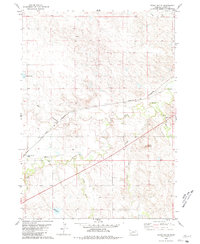
1980 · Trunk Butte
USGS Topo · 1:24,000
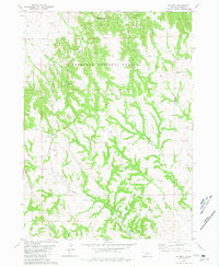
1980 · Belmont
USGS Topo · 1:24,000
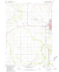
1980 · Chadron West
USGS Topo · 1:24,000