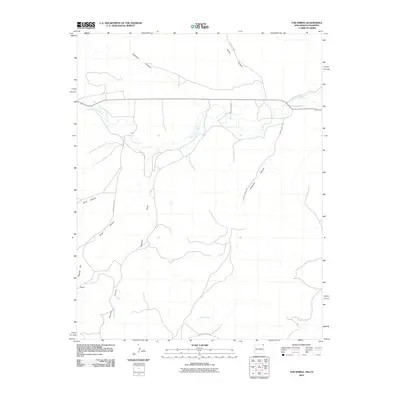
2010 Map of Tub Spring
USGS Topo · Published 2010About this map
Dry Cimarron River cuts through the northern reaches of this high-altitude landscape, defining a network of drainage systems across the New Mexico-Colorado border. The terrain is characterized by a series of deep incisions, including Flathead Canyon, Miller Canyon, and Anderson Canyon, which channel intermittent water toward the river valley. Sparse settlement is marked by the presence of Farr and Bechtel, indicating the modest footprint of human activity in this arid region at the time of the survey.
Find a feature on this map
18 named features on this map. Tap any name to fly to it.
Don’t see what you’re looking for? This feature index may not catch every label — zoom into the map to look around manually.
Map Details
Editions of this 2010 Tub Spring Map
This is the sole edition of this map. No revisions or reprints were ever made.
Other maps of this area

1892 · Mt Carrizo
USGS Topo · 1:125,000

1954 · Dalhart
USGS Topo · 1:250,000

1955 · La Junta
USGS Topo · 1:250,000

1958 · La Junta
USGS Topo · 1:250,000

1958 · Dalhart
USGS Topo · 1:250,000

1962 · Dalhart
USGS Topo · 1:250,000

1968 · La Junta
USGS Topo · 1:250,000
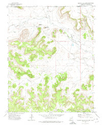
1972 · Wedding Cake Butte
USGS Topo · 1:24,000

1972 · Travesser Park
USGS Topo · 1:24,000
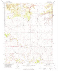
1972 · Guy
USGS Topo · 1:24,000