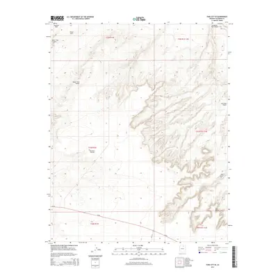
2014 Map of Tuba City SE
USGS Topo · Published 2014About this map
The Moenkopi Plateau dominates this high-desert landscape in the Navajo Nation, where deep erosional features carve into the arid tableland. Extensive canyon systems define the eastern and northern portions of the map, notably the intricate drainages of Ha Ho No Geh Canyon and Coal Mine Canyon. These geologically significant formations, along with landmarks like The Ghost and Blue Point, reveal a terrain sculpted by wind and seasonal water flow, with Moenkopi Wash cutting through the northwestern corner.
Find a feature on this map
16 named features on this map. Tap any name to fly to it.
Don’t see what you’re looking for? This feature index may not catch every label — zoom into the map to look around manually.
Map Details
Editions of this 2014 Tuba City SE Map
This is the sole edition of this map. No revisions or reprints were ever made.
Other maps of this area

1883 · Marsh Pass
USGS Topo · 1:250,000

1883 · Tusayan
USGS Topo · 1:250,000

1886 · Tusayan
USGS Topo · 1:250,000

1886 · San Francisco Mtns
USGS Topo · 1:250,000

1886 · Echo Cliffs
USGS Topo · 1:250,000

1891 · San Francisco Mtns
USGS Topo · 1:250,000

1891 · Echo Cliffs
USGS Topo · 1:250,000

1892 · Marsh Pass
USGS Topo · 1:250,000

1894 · San Francisco Mtns
USGS Topo · 1:250,000

1899 · San Francisco Mtns
USGS Topo · 1:250,000