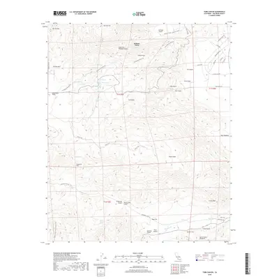
2018 Map of Tubb Canyon
USGS Topo · Published 2018About this map
Hellhole Palms and Maidenhair Falls define the desert oasis character of this region in the eastern reaches of San Diego County. The landscape is a network of named springs and deep canyons, including Tubb Canyon, Culp Canyon, and Sentenac Canyon, which have long served as vital water sources and travel corridors. This 2018 survey illustrates the convergence of recreational routes like the Pacific Crest National Scenic Trail and the CA Riding & Hiking Trail with historic footpaths such as the Wilson Trail.
Find a feature on this map
64 named features on this map. Tap any name to fly to it.
Don’t see what you’re looking for? This feature index may not catch every label — zoom into the map to look around manually.
Map Details
Editions of this 2018 Tubb Canyon Map
This is the sole edition of this map. No revisions or reprints were ever made.
Other maps of this area

1903 · Ramona
USGS Topo · 1:125,000

1904 · Indio
USGS Topo · 1:125,000

1904 · Southern California Sheet No. 2
USGS Topo · 1:250,000

1931 · Vallecito
USGS Topo · 1:125,000

1939 · Warner Springs
USGS Topo · 1:62,500

1939 · Santa Ysabel
USGS Topo · 1:62,500

1939 · Borrego
USGS Topo · 1:62,500

1941 · Clark Lake
USGS Topo · 1:62,500

1942 · Clark Lake
USGS Topo · 1:62,500

1942 · Borego
USGS Topo · 1:62,500