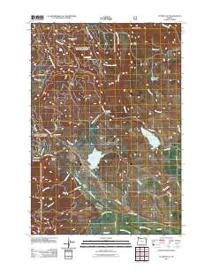
2011 Map of Tucker Flat
USGS Topo · Published 2011About this map
Tucker Flat and the surrounding high country of Union County are defined by a complex network of water management and rugged topography in this 2011 survey. The landscape is marked by significant hydraulic infrastructure, including the Pilcher Creek Reservoir, Wolf Creek Reservoir, and Huddleston Reservoir, alongside an intricate system of agricultural irrigation channels like the Carnes Ditch, Powers Ditch, and Hutchinson Slough. These features illustrate the essential role of water diversion in supporting the region's foothills.
Find a feature on this map
46 named features on this map. Tap any name to fly to it.
Don’t see what you’re looking for? This feature index may not catch every label — zoom into the map to look around manually.
Map Details
Editions of this 2011 Tucker Flat Map
This is the sole edition of this map. No revisions or reprints were ever made.
Other maps of this area

1901 · Baker City
USGS Topo · 1:125,000

1901 · Sumpter
USGS Topo · 1:125,000

1906 · Telocaset
USGS Topo · 1:125,000

1953 · Pendleton
USGS Topo · 1:250,000

1955 · Baker
USGS Topo · 1:250,000

1955 · Grangeville
USGS Topo · 1:250,000

1955 · Canyon City
USGS Topo · 1:250,000

1956 · Pendleton
USGS Topo · 1:250,000

1959 · Baker
USGS Topo · 1:250,000

1959 · Grangeville
USGS Topo · 1:250,000