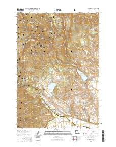
2014 Map of Tucker Flat
USGS Topo · Published 2014About this map
Whitman National Forest dominates this section of the Blue Mountains, where the high ridges of Mann Ridge and Red Ridge overlook a complex network of canyons and water management systems. The landscape is defined by its transition from high-elevation timberlands to the agricultural infrastructure of the North Powder Valley. A notable density of water storage and irrigation features, including Pilcher Creek Reservoir, Wolf Cr Reservoir, and Henrys Reservoir, illustrates the vital role of mountain runoff for the downstream valley.
Find a feature on this map
55 named features on this map. Tap any name to fly to it.
Don’t see what you’re looking for? This feature index may not catch every label — zoom into the map to look around manually.
Map Details
Editions of this 2014 Tucker Flat Map
This is the sole edition of this map. No revisions or reprints were ever made.
Other maps of this area

1901 · Baker City
USGS Topo · 1:125,000

1901 · Sumpter
USGS Topo · 1:125,000

1906 · Telocaset
USGS Topo · 1:125,000

1953 · Pendleton
USGS Topo · 1:250,000

1955 · Baker
USGS Topo · 1:250,000

1955 · Grangeville
USGS Topo · 1:250,000

1955 · Canyon City
USGS Topo · 1:250,000

1956 · Pendleton
USGS Topo · 1:250,000

1959 · Baker
USGS Topo · 1:250,000

1959 · Grangeville
USGS Topo · 1:250,000