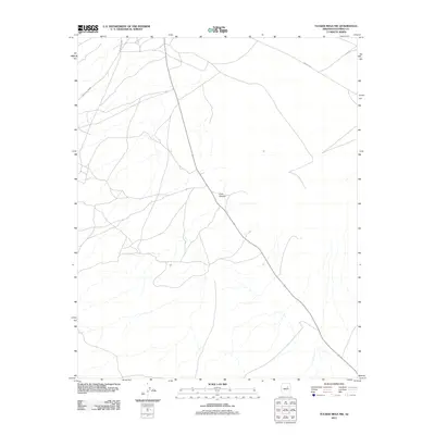
2011 Map of Tucker Mesa NW
USGS Topo · Published 2011About this map
Cow Canyon carves through the high desert of Coconino County in this 2011 topographic record, representing a sparse and arid landscape defined by its essential transportation corridors. The map highlights the reliance on significant local thoroughfares such as Indian Rte 6930 and Indian Rte 2, which provide the primary access through this open terrain. These routes indicate the importance of established Bureau of Indian Affairs road networks in navigating the expansive plateaus and drainage systems of the region. This document serves as a clear snapshot of the modern infrastructure and natural drainage patterns within this specific portion of the Navajo Nation and surrounding Coconino County lands.
Find a feature on this map
3 named features on this map. Tap any name to fly to it.
Don’t see what you’re looking for? This feature index may not catch every label — zoom into the map to look around manually.
Map Details
Editions of this 2011 Tucker Mesa NW Map
This is the sole edition of this map. No revisions or reprints were ever made.
Other maps of this area

1883 · Tusayan
USGS Topo · 1:250,000

1886 · Tusayan
USGS Topo · 1:250,000

1886 · San Francisco Mtns
USGS Topo · 1:250,000

1891 · San Francisco Mtns
USGS Topo · 1:250,000

1894 · San Francisco Mtns
USGS Topo · 1:250,000

1899 · San Francisco Mtns
USGS Topo · 1:250,000

1947 · Flagstaff
USGS Topo · 1:250,000

1954 · Flagstaff
USGS Topo · 1:250,000

1955 · Winslow 2 SW
USGS Topo · 1:24,000

1955 · Leupp
USGS Topo · 1:62,500