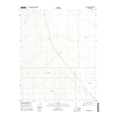
2014 Map of Tucker Mesa NW
USGS Topo · Published 2014About this map
Az-99 serves as the primary corridor through this high-desert landscape in Coconino County, cutting a near-linear path northwest to southeast across the high plateaus. The terrain is defined by the deep incision of Cow Canyon, which creates a significant break in the local topography. This 2014 survey captures a sparsely populated region primarily organized by the Public Land Survey System, as evidenced by the distinct township boundaries including t21n r13e and t20n r14e. The presence of Bureau of Indian Affairs routes like Bia-2 and Bia-6930 indicates the area's relationship to tribal lands and the essential road network connecting these remote reaches of northern Arizona.
Find a feature on this map
10 named features on this map. Tap any name to fly to it.
Don’t see what you’re looking for? This feature index may not catch every label — zoom into the map to look around manually.
Map Details
Editions of this 2014 Tucker Mesa NW Map
This is the sole edition of this map. No revisions or reprints were ever made.
Other maps of this area

1883 · Tusayan
USGS Topo · 1:250,000

1886 · Tusayan
USGS Topo · 1:250,000

1886 · San Francisco Mtns
USGS Topo · 1:250,000

1891 · San Francisco Mtns
USGS Topo · 1:250,000

1894 · San Francisco Mtns
USGS Topo · 1:250,000

1899 · San Francisco Mtns
USGS Topo · 1:250,000

1947 · Flagstaff
USGS Topo · 1:250,000

1954 · Flagstaff
USGS Topo · 1:250,000

1955 · Winslow 2 SW
USGS Topo · 1:24,000

1955 · Leupp
USGS Topo · 1:62,500