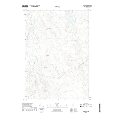
2018 Map of Tug Mountain
USGS Topo · Published 2018About this map
Tug Mtn anchors a landscape defined by an intricate network of waterways and high ridgelines in Washington County. The Machias River and its western branch dominate the western edge of the terrain, while the central and eastern portions are drained by Pembroke Stream and Old Stream. This area is characterized by significant topographical features such as Canaan Ridge, Bacon Ridge, and the distinctively named Porcupine Pinnacle.
Find a feature on this map
25 named features on this map. Tap any name to fly to it.
Don’t see what you’re looking for? This feature index may not catch every label — zoom into the map to look around manually.
Map Details
Editions of this 2018 Tug Mountain Map
This is the sole edition of this map. No revisions or reprints were ever made.
Other maps of this area

1941 · Wesley
USGS Topo · 1:62,500

1941 · Tug Mountain
USGS Topo · 1:62,500

1941 · Big Lake
USGS Topo · 1:62,500

1941 · Wabassus Lake
USGS Topo · 1:62,500

1943 · Big Lake
USGS Topo · 1:62,500

1943 · Tug Mountain
USGS Topo · 1:62,500

1943 · Wesley
USGS Topo · 1:62,500

1943 · Wabassus Lake
USGS Topo · 1:62,500

1952 · Big Lake
USGS Topo · 1:50,000

1953 · Wabassus Lake
USGS Topo · 1:62,500