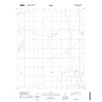
2020 Map of Tularosa Peak
USGS Topo · Published 2020About this map
Tularosa Peak rises as the central topographical landmark in this arid section of Otero County, where natural water sources have long dictated the patterns of movement and survival. The landscape is defined by an intricate network of drainage features and localized water points, including several named springs such as Harkness Spring and Guilez Spring. These water sources, alongside larger basins like Brazel Lake, provide essential relief in a terrain otherwise characterized by the intermittent flow of Temporal Creek and Tularosa Creek. The presence of several established roads, including Wsmr P RT 9 and Wsmr P RT 6, indicates modern access through this desert environment, connecting the draws and springs. The map documents a classic New Mexico Basin and Range landscape where the name of every spring and draw, from Allen Draw to Sheep Camp Draw, represents a vital piece of local history and resource management.
Find a feature on this map
24 named features on this map. Tap any name to fly to it.
Don’t see what you’re looking for? This feature index may not catch every label — zoom into the map to look around manually.
Map Details
Editions of this 2020 Tularosa Peak Map
This is the sole edition of this map. No revisions or reprints were ever made.
Other maps of this area

1916 · Tularosa
USGS Topo · 1:125,000

1916 · Point Of Sands
USGS Topo · 1:125,000

1947 · Point Of Sands 2
USGS Topo · 1:62,500

1948 · Lumley Lake
USGS Topo · 1:62,500

1948 · Tularosa
USGS Topo · 1:62,500

1948 · Holloman
USGS Topo · 1:62,500

1954 · Tularosa
USGS Topo · 1:250,000

1955 · Las Cruces
USGS Topo · 1:250,000

1958 · Las Cruces
USGS Topo · 1:250,000

1958 · Tularosa
USGS Topo · 1:250,000