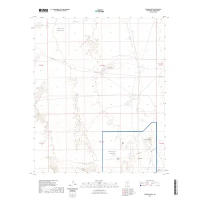
2023 Map of Tularosa Peak
USGS Topo · Published 2023About this map
White Sands and the high-desert terrain of Otero County define this landscape, where modern military installations overlap with traditional desert hydrology. The map depicts a convergence of geography between the White Sands Missile Range and Holloman Air Force Base, showing how these vast restricted areas occupy the basin floor. This modern survey detail is anchored by Tularosa Peak, a prominent landmark rising above the surrounding desert floor.
Find a feature on this map
26 named features on this map. Tap any name to fly to it.
Don’t see what you’re looking for? This feature index may not catch every label — zoom into the map to look around manually.
Map Details
Editions of this 2023 Tularosa Peak Map
This is the sole edition of this map. No revisions or reprints were ever made.
Other maps of this area

1916 · Tularosa
USGS Topo · 1:125,000

1916 · Point Of Sands
USGS Topo · 1:125,000

1947 · Point Of Sands 2
USGS Topo · 1:62,500

1948 · Lumley Lake
USGS Topo · 1:62,500

1948 · Tularosa
USGS Topo · 1:62,500

1948 · Holloman
USGS Topo · 1:62,500

1954 · Tularosa
USGS Topo · 1:250,000

1955 · Las Cruces
USGS Topo · 1:250,000

1958 · Las Cruces
USGS Topo · 1:250,000

1958 · Tularosa
USGS Topo · 1:250,000