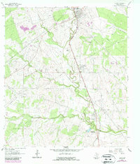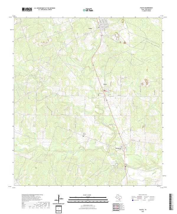
2022 Map of Tuleta
USGS Topo · Published 2022About this map
Pettus and Tuleta anchor the northern reaches of this coastal plain landscape, where the terrain is defined by the winding paths of Medio Cr and San Domingo Cr. The settlement pattern follows a distinct linear corridor along the central transit route, connecting the local centers of commerce to the smaller community of Normanna in the south. This area of Bee County reveals a rural landscape deeply tied to its water sources and topography, from the drainage at Live Oak Hollow to the impoundment at Dougherty Reservoir.
Find a feature on this map
59 named features on this map. Tap any name to fly to it.
Don’t see what you’re looking for? This feature index may not catch every label — zoom into the map to look around manually.
Map Details
Editions of this 2022 Tuleta Map
This is the sole edition of this map. No revisions or reprints were ever made.