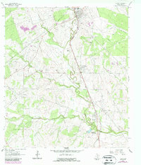
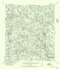
1963 Map of Tuleta
USGS Topo · Published 1987About this map
Pettus, Tuleta, and Normanna anchor this central Texas landscape, which is defined by a dense network of petroleum exploration and production infrastructure in the mid-1960s. The Southern Pacific railroad runs parallel to Medio Creek, connecting these settlements and providing a transport corridor for the region's energy resources. This survey details an era when the local economy was heavily intertwined with large-scale operations like the Pettus Field, Tulsita Oil Field, and West Tuleta Field. Interspersed among these industrial sites are markers of established ranching life, such as the San Domingo Ranch (Headquarters) and the Normanna Cem. The terrain is also etched with numerous pipelines and watercourses, including San Domingo Creek and Toro Creek, which cross between the rolling oil fields and agricultural lands.
Find a feature on this map
20 named features on this map. Tap any name to fly to it.
Don’t see what you’re looking for? This feature index may not catch every label — zoom into the map to look around manually.
Map Details
Editions of this 1963 Tuleta Map
2 editions found
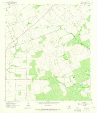
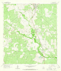
Other maps of this area
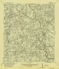
1936 · Pettus
USGS Topo · 1:62,500

1953 · Beeville
USGS Topo · 1:250,000
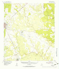
1954 · Skidmore
USGS Topo · 1:62,500
1954 · Fleming
USGS Topo · 1:62,500

1956 · Beeville
USGS Topo · 1:250,000
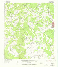
1956 · Pettus
USGS Topo · 1:62,500

1960 · Beeville
USGS Topo · 1:250,000
1963 · Monteola
USGS Topo · 1:24,000
1963 · Tuleta
USGS Topo · 1:24,000
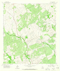
1963 · Tulsita
USGS Topo · 1:24,000