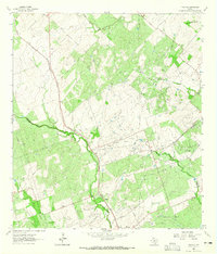
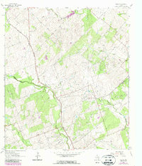
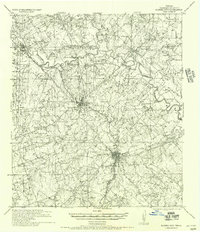
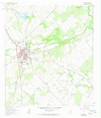
1963 Map of Tulsita
USGS Topo · Published 1965About this map
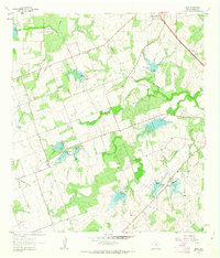
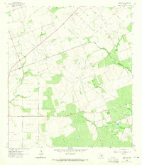
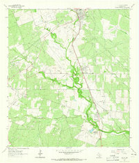
Burnell Oil Field and the Pettus North Oil Field dominate this mid-century landscape in south-central Texas, illustrating the intensive petroleum extraction and transportation infrastructure of the era. Numerous pipelines, drill holes, and gas wells are interspersed with cattle-country ranching features like fences and water tanks. The settlement of Tulsita and the nearby siding at Burnell are situated along the Southern Pacific railroad line, which served as a critical corridor for moving local resources.
Find a feature on this map
30 named features on this map. Tap any name to fly to it.
Don’t see what you’re looking for? This feature index may not catch every label — zoom into the map to look around manually.
Map Details
Editions of this 1963 Tulsita Map
2 editions found
Other maps of this area
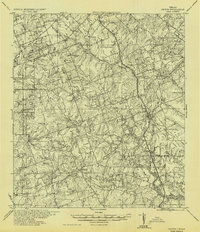
1936 · Pettus
USGS Topo · 1:62,500

1953 · Beeville
USGS Topo · 1:250,000

1956 · Beeville
USGS Topo · 1:250,000
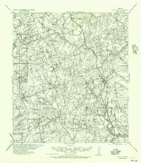
1956 · Pettus
USGS Topo · 1:62,500
1956 · Karnes City
USGS Topo · 1:62,500

1960 · Beeville
USGS Topo · 1:250,000
1961 · Kenedy
USGS Topo · 1:24,000
1961 · Lenz
USGS Topo · 1:24,000
1963 · Monteola
USGS Topo · 1:24,000
1963 · Tuleta
USGS Topo · 1:24,000