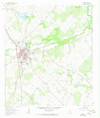
1961 Map of Kenedy
USGS Topo · Published 1963About this map
Kenedy serves as the focal point of this South Texas survey, situated at the junction of the Southern Pacific railroad and a network of local thoroughfares like Old Runge Road and Nichols street. The town's mid-century infrastructure is well-defined, showing the High Sch, Jr High Sch, and a dedicated Hospital and Fairground. The landscape beyond the town center is deeply etched by a series of drainages, including Escondido Creek and Hondo Creek, which feed toward the San Antonio River in the northeast corner of the sheet.
Find a feature on this map
37 named features on this map. Tap any name to fly to it.
Don’t see what you’re looking for? This feature index may not catch every label — zoom into the map to look around manually.
Map Details
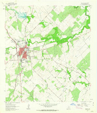
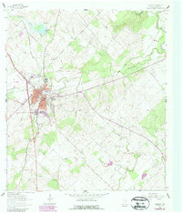
Editions of this 1961 Kenedy Map
3 editions found
Other maps of this area

1936 · Pettus
USGS Topo · 1:62,500

1953 · Beeville
USGS Topo · 1:250,000

1956 · Beeville
USGS Topo · 1:250,000

1956 · Pettus
USGS Topo · 1:62,500

1956 · Karnes City
USGS Topo · 1:62,500

1960 · Beeville
USGS Topo · 1:250,000
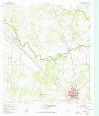
1960 · Karnes City
USGS Topo · 1:24,000

1960 · Helena
USGS Topo · 1:24,000
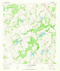
1961 · Lenz
USGS Topo · 1:24,000
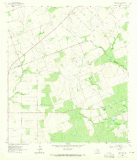
1963 · Monteola
USGS Topo · 1:24,000