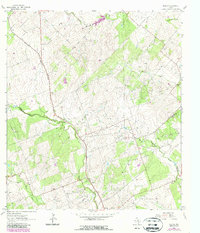
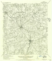
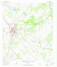
1963 Map of Tulsita
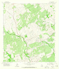
USGS Topo · Published 1987About this map
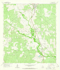
Southern Pacific railroad tracks cut a diagonal path through the South Texas brush country, connecting the small communities of Tulsita, Burnell, and Pettus. This 1960s survey, updated in the late 1980s, reveals a landscape heavily shaped by the energy industry, with the Burnell Oil Field and Pettus North Oil Field sprawling across the terrain. Amidst the numerous oil wells and pipelines, the map identifies several quarries and a centralized Refinery near the Bee and Karnes county line.
Find a feature on this map
29 named features on this map. Tap any name to fly to it.
Don’t see what you’re looking for? This feature index may not catch every label — zoom into the map to look around manually.
Map Details
Editions of this 1963 Tulsita Map
2 editions found
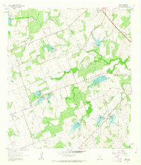
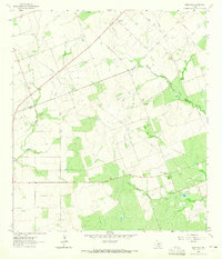
Other maps of this area
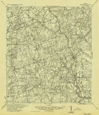
1936 · Pettus
USGS Topo · 1:62,500

1953 · Beeville
USGS Topo · 1:250,000

1956 · Beeville
USGS Topo · 1:250,000
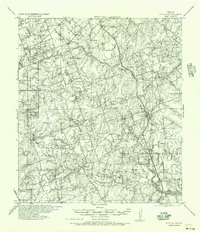
1956 · Pettus
USGS Topo · 1:62,500
1956 · Karnes City
USGS Topo · 1:62,500

1960 · Beeville
USGS Topo · 1:250,000
1961 · Kenedy
USGS Topo · 1:24,000
1961 · Lenz
USGS Topo · 1:24,000
1963 · Monteola
USGS Topo · 1:24,000
1963 · Tuleta
USGS Topo · 1:24,000