Loading...
Loading map...1985 Map of Tulia
USGS Topo · Published 1985About this map
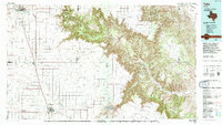
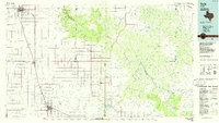
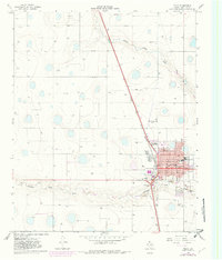
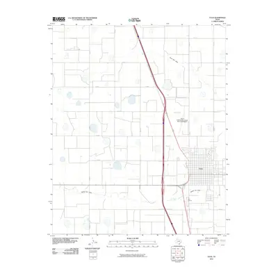
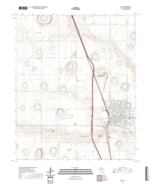
Palo Duro Canyon dominates the northeastern landscape of this 1985 survey, cutting a dramatic path across the high plains of the Texas Panhandle. The map reveals a sharp contrast between the deeply eroded canyon system, including landmarks like Lighthouse, Castle Peak, and The Narrows, and the surrounding flatlands characterized by a precise grid of roads and scattered depressions. Water drainage patterns define the region's geography, with Happy Draw, North Tule Draw, and Tierra Blanca Creek feeding into the canyon's complex network.
Find a feature on this map
62 named features on this map. Tap any name to fly to it.
Don’t see what you’re looking for? This feature index may not catch every label — zoom into the map to look around manually.
Map Details
Date Portrayed1985
Date Published1985
PublisherU.S. Geological Survey
Map TypeTopographic
Scale1:100,000
Physical Dimensions42.4 x 24.1 inches
Editions of this 1985 Tulia Map
2 editions found
Historical Maps of Canyon Through Time
7 maps found
Featured Locations
Source Details
SourceU.S. Geological Survey
CopyrightPublic Domain