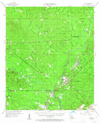
1954 Map of Tullos
USGS Topo · Published 1963About this map
Tullos and Urania serve as central nodes for a landscape defined by timber and rail in the mid-1950s. The region is heavily integrated with the industrial movements of the Tremont and Gulf and Louisiana and Arkansas railroads, which crisscross the territory to connect small settlements like Rochelle and Georgetown. Significant portions of the southwestern quadrant fall within the Kisatchie National Forest, while the north is drained by Beech Creek and Castor Creek. Local genealogy is well-represented through numerous family-named burial sites such as James Cem, McBroom Cem, and Shiloh Cem. The presence of Oil Wells near Georgetown and several electrical substations highlights the mid-century industrial development and utility infrastructure supporting these rural Louisiana communities during this era of growth.
Find a feature on this map
105 named features on this map. Tap any name to fly to it.
Don’t see what you’re looking for? This feature index may not catch every label — zoom into the map to look around manually.
Map Details
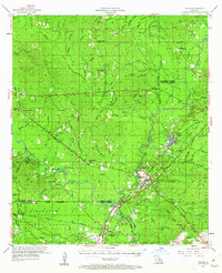
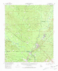
Editions of this 1954 Tullos Map
4 editions found

Other maps of this area

1932 · Colfax NE
USGS Topo · 1:31,680

1936 · Colfax
USGS Topo · 1:62,500

1936 · Pollock
USGS Topo · 1:62,500

1940 · Columbia
USGS Topo · 1:62,500

1941 · Jena
USGS Topo · 1:62,500

1941 · Pollock
USGS Topo · 1:62,500

1949 · Jonesboro
USGS Topo · 1:62,500

1950 · Jonesboro
USGS Topo · 1:62,500

1950 · Winnfield
USGS Topo · 1:62,500

1951 · Winnfield
USGS Topo · 1:62,500