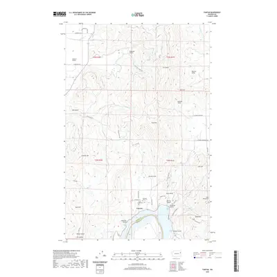
2020 Map of Tumtum
USGS Topo · Published 2020About this map
Tumtum and the surrounding high country of the Selkirk foothills are defined by the winding course of the Spokane River as it widens into Long Lake. This modern topographic survey highlights a landscape of deep canyons and prominent ridges, where local genealogy interests center on the Old Scotts Valley Cem and the settlement of Walkers Prairie to the northwest. The terrain is deeply inscribed with family and geographic names, from Williams Valley and Scotts Valley to the heights of McMillan Mtn and Scoop Mtn. Along the reservoir, distinct recreational and residential pockets like Sunset Bay and Willow Bay mark the shoreline, while the interior is traversed by routes such as Scotts Valley Rd and Rail Canyon Rd. The map also captures the jurisdictional divide at the Stevens Co Spokane Co line, reflecting the historical development of these neighboring rural districts.
Find a feature on this map
52 named features on this map. Tap any name to fly to it.
Don’t see what you’re looking for? This feature index may not catch every label — zoom into the map to look around manually.
Map Details
Editions of this 2020 Tumtum Map
This is the sole edition of this map. No revisions or reprints were ever made.
Other maps of this area

1927 · Chewelah
USGS Topo · 1:125,000

1930 · Chewelah
USGS Topo · 1:125,000

1944 · Clayton
USGS Topo · 1:62,500

1944 · Wellpinit
USGS Topo · 1:62,500

1950 · Clayton
USGS Topo · 1:62,500

1953 · Wellpinit
USGS Topo · 1:62,500

1955 · Spokane
USGS Topo · 1:250,000

1958 · Spokane
USGS Topo · 1:250,000

1958 · Sandpoint
USGS Topo · 1:250,000

1963 · Sandpoint
USGS Topo · 1:250,000