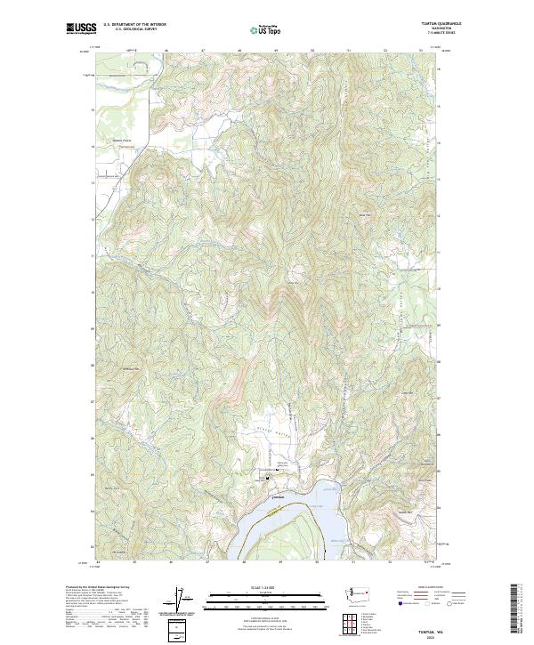
2023 Map of Tumtum
USGS Topo · Published 2023About this map
Tumtum sits along the northern shores of Long Lake in this modern survey, where the border of Stevens and Spokane counties meets the water. The landscape is defined by the sharp transition from the lake's edge at Sunset Bay and Willow Bay to the rising elevations of McMillan Mountain and Mt Godfrey. To the north, Walkers Prairie provides a more level terrain near the headwaters of Chumokane Creek.
Find a feature on this map
56 named features on this map. Tap any name to fly to it.
Don’t see what you’re looking for? This feature index may not catch every label — zoom into the map to look around manually.
Map Details
Editions of this 2023 Tumtum Map
This is the sole edition of this map. No revisions or reprints were ever made.
Other maps of this area

1927 · Chewelah
USGS Topo · 1:125,000

1930 · Chewelah
USGS Topo · 1:125,000

1944 · Clayton
USGS Topo · 1:62,500

1944 · Wellpinit
USGS Topo · 1:62,500

1950 · Clayton
USGS Topo · 1:62,500

1953 · Wellpinit
USGS Topo · 1:62,500

1955 · Spokane
USGS Topo · 1:250,000

1958 · Spokane
USGS Topo · 1:250,000

1958 · Sandpoint
USGS Topo · 1:250,000

1963 · Sandpoint
USGS Topo · 1:250,000