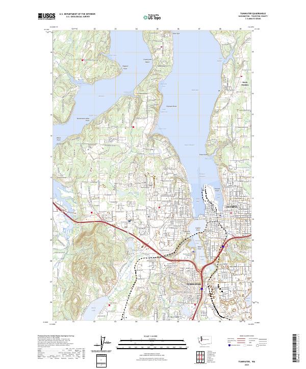
2023 Map of Tumwater
USGS Topo · Published 2023About this map
Budd Inlet and Eld Inlet dominate this coastal survey, where the saltwater reaches of the southern Puget Sound meet the growing urban centers of Olympia and Tumwater. The landscape is a complex network of peninsulas and protected coves, including Butler Cove and Gull Harbor, punctuated by landmarks like Priest Point and the Olympia Shoal. Institutional and civic life is well-documented, from the sprawling campus of The Evergreen State College to the governmental hub featuring the Washington Temple of Justice and the Thurston County Courthouse.
Find a feature on this map
154 named features on this map. Tap any name to fly to it.
Don’t see what you’re looking for? This feature index may not catch every label — zoom into the map to look around manually.
Map Details
Editions of this 2023 Tumwater Map
This is the sole edition of this map. No revisions or reprints were ever made.
Other maps of this area

1916 · Chehalis
USGS Topo · 1:125,000

1937 · Olympia
USGS Topo · 1:62,500

1939 · Shelton
USGS Topo · 1:62,500

1940 · Tenino
USGS Topo · 1:62,500

1941 · Gate
USGS Topo · 1:62,500

1944 · Tenino
USGS Topo · 1:62,500

1949 · Tenino
USGS Topo · 1:62,500

1949 · Olympia
USGS Topo · 1:62,500

1953 · Hoquiam
USGS Topo · 1:250,000

1953 · Rochester
USGS Topo · 1:62,500