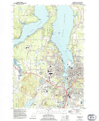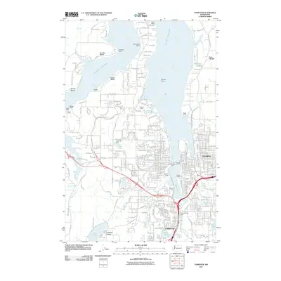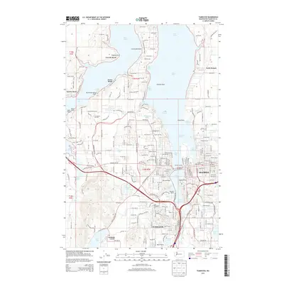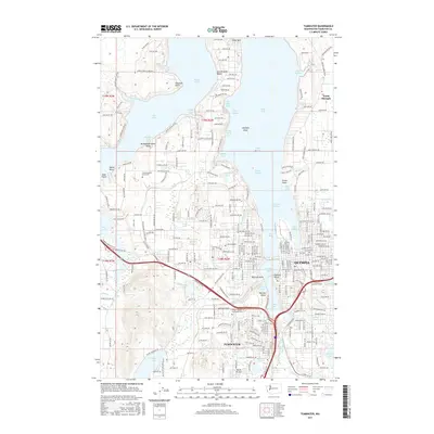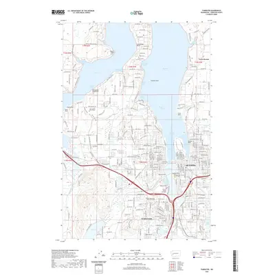
1997 Map of Tumwater
USGS Topo · Published 2000About this map
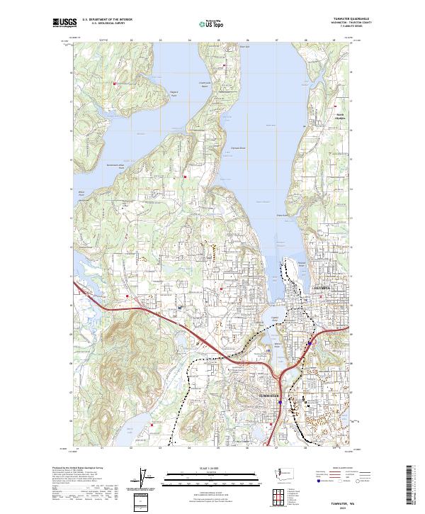
The State Capitol and the government core of Olympia anchor the eastern shoreline of Budd Inlet in this late-twentieth-century study of the southern Puget Sound. To the west, the campus of The Evergreen State College sits amidst the heavily wooded peninsula between Eld Inlet and the West Bay. The landscape is a complex intersection of natural drainage and urban expansion, where the Deschutes River flows into Capitol Lake and the Black Hills rise toward the southwest corner. Local life is documented through established neighborhoods like Countryside Beach and North Olympia, alongside vital community landmarks such as McLane Grange Hall, the Capital Medical Center, and the sprawling Capital Mall. Tracing the network of roads from Cooper Point Road to Evergreen Parkway reveals the suburban densification occurring around Tumwater and the numerous small coves of the sound.
Find a feature on this map
81 named features on this map. Tap any name to fly to it.
Don’t see what you’re looking for? This feature index may not catch every label — zoom into the map to look around manually.
Map Details
Editions of this 1997 Tumwater Map
This is the sole edition of this map. No revisions or reprints were ever made.
Historical Maps of Olympia Through Time
7 maps found