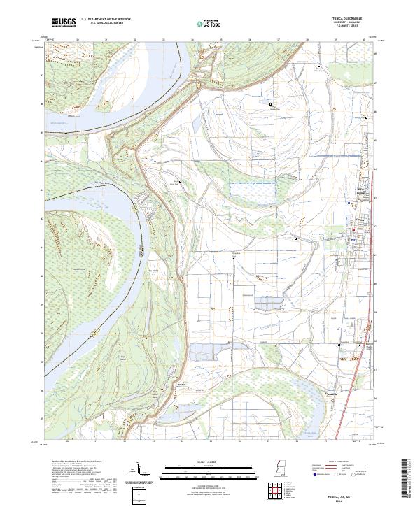
2024 Map of Tunica
USGS Topo · Published 2024About this map
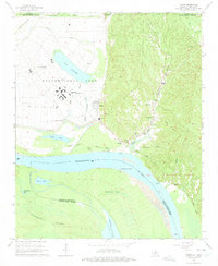
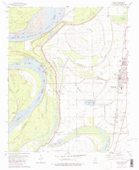
Tunica and its county seat serve as the primary hub of this Delta landscape, where the Mississippi River carves a winding path through Ship Island Bend and Mhoon Bend. The terrain is defined by the proximity of the river, with the massive Levee Rd protecting agricultural lands from the river's force. Local history and genealogy are centered around the Tunica County Courthouse and numerous burial grounds scattered across the plain, including Mount Nebo Cem, Crystal Springs Cem, and Saint Johns Cem.
Find a feature on this map
84 named features on this map. Tap any name to fly to it.
Don’t see what you’re looking for? This feature index may not catch every label — zoom into the map to look around manually.
Map Details
Editions of this 2024 Tunica Map
This is the sole edition of this map. No revisions or reprints were ever made.