Loading...
Loading map...1981 Map of Tunica
USGS Topo · Published 1982About this map
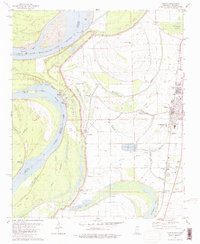
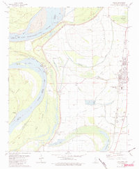
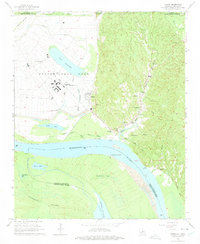
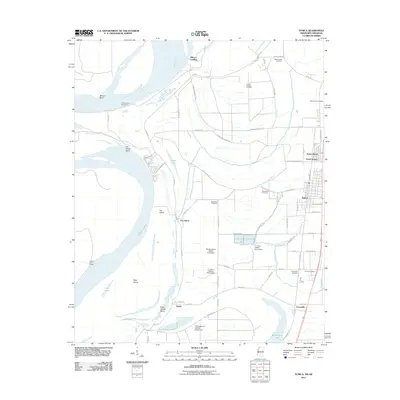
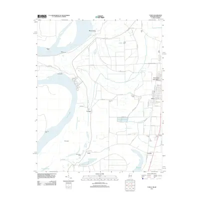
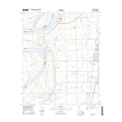
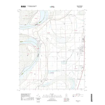
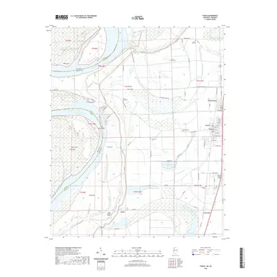
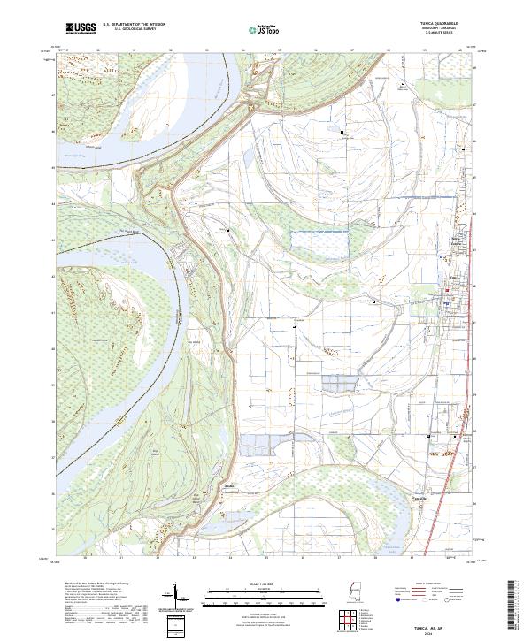
Tunica and its agricultural surroundings are captured here at a time of established infrastructure along the eastern bank of the Mississippi River. The landscape is dominated by the intricate hydrology of the Delta, featuring the massive oxbow of Tunica Lake and numerous bayous like McKinney Bayou and White Oak Bayou. Settlement patterns follow the high ground and the corridor of the Illinois Central Gulf railroad, which connects the county seat at Tunica with smaller communities such as Evansville and Tunica North.
Find a feature on this map
50 named features on this map. Tap any name to fly to it.
Don’t see what you’re looking for? This feature index may not catch every label — zoom into the map to look around manually.
Map Details
Date Portrayed1981
Date Published1982
PublisherU.S. Geological Survey
Map TypeTopographic
Scale1:24,000
Physical Dimensions22 x 26.8 inches
Editions of this 1981 Tunica Map
2 editions found
Historical Maps of Tunica Through Time
8 maps found
Featured Locations
Source Details
SourceU.S. Geological Survey
CopyrightPublic Domain