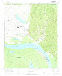
1965 Map of Tunica
USGS Topo · Published 1975About this map
The Louisiana State Penitentiary at Angola dominates this section of the riverfront, set within a massive bend of the Mississippi River. This mid-century survey illustrates the sprawling Louisiana State Penal Farm landscape, where the prison complex is surrounded by intensive drainage canals like Bobs Bayou and large water bodies including Lake Killarney. The map captures the complex geography of the state border, where the river's shifting course has created features like Raccourci Island and Monkey Island, isolated by oxbows such as Raccourci Old River.
Find a feature on this map
49 named features on this map. Tap any name to fly to it.
Don’t see what you’re looking for? This feature index may not catch every label — zoom into the map to look around manually.
Map Details
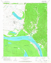
Editions of this 1965 Tunica Map
2 editions found
Other maps of this area

1908 · Dundee
USGS Topo · 1:24,000

1908 · Hollywood
USGS Topo · 1:24,000

1908 · Walnut Lake
USGS Topo · 1:24,000

1910 · Dundee
USGS Topo · 1:31,680

1910 · Walnut Lake
USGS Topo · 1:31,680

1913 · Hollywood
USGS Topo · 1:31,680

1931 · Horseshoe Lake
USGS Topo · 1:62,500

1939 · Clayton
USGS Topo · 1:62,500

1939 · Horseshoe Lake
USGS Topo · 1:62,500

1939 · Park Place
USGS Topo · 1:62,500