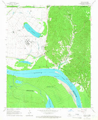
1965 Map of Tunica
USGS Topo · Published 1966About this map
The Louisiana State Penitentiary at Angola dominates the riverbank landscape of the mid-1960s, situated within a dramatic loop of the Mississippi River. This extensive State Penal Farm utilizes the fertile alluvial land bounded by Lake Killarney and a system of protective Levee works. The map illustrates the complex infrastructure of the facility, including the Hospital, a Pumping Station, and the Point Lookout Cem. To the east, the terrain rises into the loess bluffs where the settlement of Tunica sits near Tunica Bayou. This area is marked by numerous small churches and family-named cemeteries, such as Friendship Cem and Rogillio Cem, reflecting the deep-rooted local genealogy of the region. The presence of Tunica Landing and Rowes Landing alongside a Railroad Grade highlights the historical reliance on both river and rail transport in West Feliciana Parish.
Find a feature on this map
53 named features on this map. Tap any name to fly to it.
Don’t see what you’re looking for? This feature index may not catch every label — zoom into the map to look around manually.
Map Details
Editions of this 1965 Tunica Map
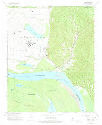
2 editions found
Other maps of this area

1908 · Dundee
USGS Topo · 1:24,000

1908 · Hollywood
USGS Topo · 1:24,000

1908 · Walnut Lake
USGS Topo · 1:24,000

1910 · Dundee
USGS Topo · 1:31,680

1910 · Walnut Lake
USGS Topo · 1:31,680

1913 · Hollywood
USGS Topo · 1:31,680

1931 · Horseshoe Lake
USGS Topo · 1:62,500

1939 · Clayton
USGS Topo · 1:62,500

1939 · Horseshoe Lake
USGS Topo · 1:62,500

1939 · Park Place
USGS Topo · 1:62,500