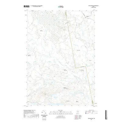
2021 Map of Tunk Mountain
USGS Topo · Published 2021About this map
Deblois anchors the northeastern corner of this coastal Maine interior, where the West Branch Narraguagus River winds through a complex landscape of heaths and granite ridges. The topography is dominated by a series of prominent elevations, including the significant massif of Tunk Mtn and nearby Spring River Mtn. These peaks rise above a network of isolated water bodies such as Myrick Lake, Anderson Pond, and Tilden Pond, illustrating the post-glacial drainage patterns characteristic of the Downeast region.
Find a feature on this map
54 named features on this map. Tap any name to fly to it.
Don’t see what you’re looking for? This feature index may not catch every label — zoom into the map to look around manually.
Map Details
Editions of this 2021 Tunk Mountain Map
This is the sole edition of this map. No revisions or reprints were ever made.
Other maps of this area

1902 · Cherryfield
USGS Topo · 1:62,500

1904 · Cherryfield
USGS Topo · 1:62,500

1929 · Lead Mountain
USGS Topo · 1:48,000

1930 · Tunk Lake
USGS Topo · 1:48,000

1932 · Tunk Lake
USGS Topo · 1:62,500

1932 · Lead Mountain
USGS Topo · 1:62,500

1941 · Tug Mountain
USGS Topo · 1:62,500

1942 · Cherryfield
USGS Topo · 1:62,500

1942 · Tunk Lake
USGS Topo · 1:62,500

1943 · Tug Mountain
USGS Topo · 1:62,500