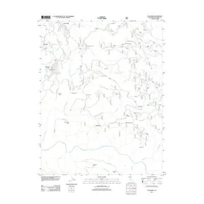
2012 Map of Tuolumne
USGS Topo · Published 2012About this map
Tuolumne City and the neighboring settlement of Tuolumne anchor the western edge of this landscape, where the Sierra Nevada foothills meet dense timberlands. The area is defined by its network of historic ranching properties, including Matsen Ranch, Ingalls Ranch, and Murphy Ranch, alongside former mining and logging hubs such as Arastraville and Buchanan. The terrain is deeply incised by the N Fork Tuolumne River and several significant tributaries like Hunter Cr and Turnback Cr.
Find a feature on this map
57 named features on this map. Tap any name to fly to it.
Don’t see what you’re looking for? This feature index may not catch every label — zoom into the map to look around manually.
Map Details
Editions of this 2012 Tuolumne Map
This is the sole edition of this map. No revisions or reprints were ever made.
Other maps of this area

1891 · Big Trees
USGS Topo · 1:125,000

1893 · Sonora
USGS Topo · 1:125,000

1894 · Big Trees
USGS Topo · 1:125,000

1896 · Sonora
USGS Topo · 1:125,000

1897 · Sonora
USGS Topo · 1:125,000

1897 · Big Trees
USGS Topo · 1:125,000

1898 · Sonora
USGS Topo · 1:125,000

1901 · Big Trees
USGS Topo · 1:125,000

1947 · Sacramento
USGS Topo · 1:250,000

1947 · San Jose
USGS Topo · 1:250,000