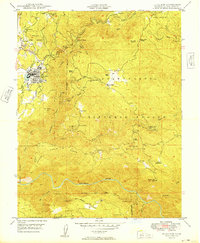
1949 Map of Tuolumne
USGS Topo · Published 1949About this map
The timber and mining economies of the Sierra foothills are on full display in this late-1940s survey of Tuolumne. The town serves as a vital hub where the Sierra RR meets the Westside Lumber Co RR, supporting a large Lumber Mill on the edge of the Stanislaus National Forest. This industrial landscape is deeply connected to the local topography, with the North Fork Tuolumne River carving through the center of the sheet while specialized sites like the State Fish Hatchery and Indian Rancheria indicate the diverse use of the land.
Find a feature on this map
57 named features on this map. Tap any name to fly to it.
Don’t see what you’re looking for? This feature index may not catch every label — zoom into the map to look around manually.
Map Details
Editions of this 1949 Tuolumne Map
This is the sole edition of this map. No revisions or reprints were ever made.
Other maps of this area

1891 · Big Trees
USGS Topo · 1:125,000

1893 · Sonora
USGS Topo · 1:125,000

1894 · Big Trees
USGS Topo · 1:125,000

1896 · Sonora
USGS Topo · 1:125,000

1897 · Sonora
USGS Topo · 1:125,000

1897 · Big Trees
USGS Topo · 1:125,000

1898 · Sonora
USGS Topo · 1:125,000

1901 · Big Trees
USGS Topo · 1:125,000

1947 · Sacramento
USGS Topo · 1:250,000

1947 · San Jose
USGS Topo · 1:250,000