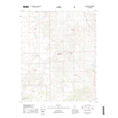
2018 Map of Turkey Canyon
USGS Topo · Published 2018About this map
Turkey Flat sits at the southwestern base of the Juniper Mountains, marking a rare level area in this upland territory within the Prescott National Forest. The landscape is defined by its water management systems, where numerous earthen catchments like Wolf Tank, Hughs Tank, and Happy Camp Tank support land use across the township lines. Movement through the area relies on a network of forest routes, including FR 664 and the Military road, which navigate the high elevations near Haystack Peak and Deer Mtn. This late-era survey documents the persistent reliance on high-desert water sources in a region where the geography remains largely unchanged from earlier settlement patterns.
Find a feature on this map
30 named features on this map. Tap any name to fly to it.
Don’t see what you’re looking for? This feature index may not catch every label — zoom into the map to look around manually.
Map Details
Editions of this 2018 Turkey Canyon Map
This is the sole edition of this map. No revisions or reprints were ever made.
Other maps of this area

1886 · Diamond Creek
USGS Topo · 1:250,000

1886 · Chino
USGS Topo · 1:250,000

1887 · Prescott
USGS Topo · 1:250,000

1891 · Chino
USGS Topo · 1:250,000

1892 · Diamond Creek
USGS Topo · 1:250,000

1892 · Prescott
USGS Topo · 1:250,000

1923 · Signal
USGS Topo · 1:250,000

1942 · Signal
USGS Topo · 1:250,000

1947 · Turkey Canyon
USGS Topo · 1:62,500

1947 · Camp Wood
USGS Topo · 1:62,500