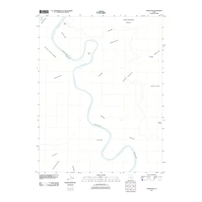
2011 Map of Turks Head
USGS Topo · Published 2011About this map
The Green River carves a deep, serpentine path through the heart of this San Juan County landscape, defining the profound verticality of Stillwater Canyon. This 2011 survey captures the intricate topography of the high desert, where the extensive White Rim forms a distinct geological bench above the river's entrenched meanders. To the east, the massive elevation of the Island in the Sky plateau dominates the horizon, offering views from the Murphy Point Overlook across the Murphy Range.
Find a feature on this map
18 named features on this map. Tap any name to fly to it.
Don’t see what you’re looking for? This feature index may not catch every label — zoom into the map to look around manually.
Map Details
Editions of this 2011 Turks Head Map
This is the sole edition of this map. No revisions or reprints were ever made.
Other maps of this area

1885 · San Rafael
USGS Topo · 1:250,000

1885 · La Sal
USGS Topo · 1:250,000

1951 · Upheaval Dome
USGS Topo · 1:62,500

1952 · Carlisle 2 SE
USGS Topo · 1:24,000

1952 · Carlisle 2 NW
USGS Topo · 1:24,000

1952 · Carlisle 2 NE
USGS Topo · 1:24,000

1952 · Carlisle 2 SW
USGS Topo · 1:24,000

1953 · Carlisle 3 NW
USGS Topo · 1:24,000

1953 · Orange Cliffs 1 SE
USGS Topo · 1:24,000

1953 · Orange Cliffs 4 NE
USGS Topo · 1:24,000