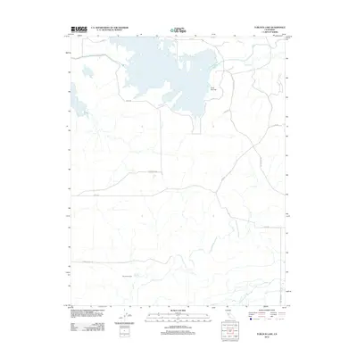
2012 Map of Turlock Lake
USGS Topo · Published 2012About this map
Turlock Lake dominates the northern landscape of this Stanislaus County region, its irregular shoreline creating a complex hydraulic footprint just west of Three Tree Flat. The surrounding terrain is defined by a dendritic network of seasonal drainages including Peaslee Cr and the extensive reaches of Dry Cr, which meanders southward toward the Ingalsbe Slough. This 2012 survey illustrates the agrarian character of the Central Valley, where large-scale operations like the Sierra Vista Dairy are serviced by a grid of named rural routes. Local transport history is etched into the landscape via thoroughfares such as Cox Ferry Rd and Los Cerritos Rd, which connect the scattered agricultural holdings and water resources that drive the local economy.
Find a feature on this map
16 named features on this map. Tap any name to fly to it.
Don’t see what you’re looking for? This feature index may not catch every label — zoom into the map to look around manually.
Map Details
Editions of this 2012 Turlock Lake Map
This is the sole edition of this map. No revisions or reprints were ever made.
Other maps of this area

1893 · Sonora
USGS Topo · 1:125,000

1896 · Sonora
USGS Topo · 1:125,000

1897 · Sonora
USGS Topo · 1:125,000

1898 · Sonora
USGS Topo · 1:125,000

1913 · Dickenson
USGS Topo · 1:31,680

1915 · Paulsell
USGS Topo · 1:31,680

1915 · La Grange
USGS Topo · 1:24,000

1916 · Three Tree Flat
USGS Topo · 1:31,680

1916 · Hopeton
USGS Topo · 1:31,680

1916 · Cressey
USGS Topo · 1:31,680