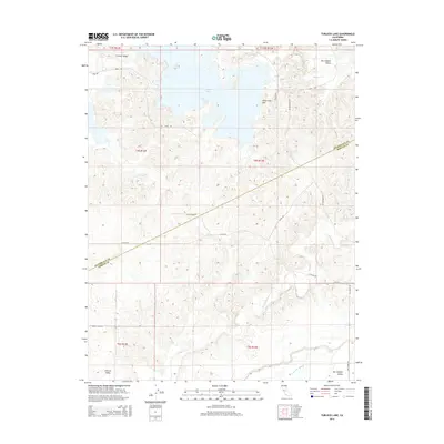
2015 Map of Turlock Lake
USGS Topo · Published 2015About this map
Turlock Lake dominates the northern reaches of this landscape where the eastern edge of the Central Valley begins its transition into the foothills. The terrain is defined by the drainage patterns of Dry Creek and Peaslee Cr, which carve through the land south of the reservoir. A clear political boundary between Stanislaus Co and Merced Co cuts diagonally across the center of the sheet, illustrating how regional administrative lines often bisect these agricultural and watershed areas.
Find a feature on this map
19 named features on this map. Tap any name to fly to it.
Don’t see what you’re looking for? This feature index may not catch every label — zoom into the map to look around manually.
Map Details
Editions of this 2015 Turlock Lake Map
This is the sole edition of this map. No revisions or reprints were ever made.
Other maps of this area

1893 · Sonora
USGS Topo · 1:125,000

1896 · Sonora
USGS Topo · 1:125,000

1897 · Sonora
USGS Topo · 1:125,000

1898 · Sonora
USGS Topo · 1:125,000

1913 · Dickenson
USGS Topo · 1:31,680

1915 · Paulsell
USGS Topo · 1:31,680

1915 · La Grange
USGS Topo · 1:24,000

1916 · Three Tree Flat
USGS Topo · 1:31,680

1916 · Hopeton
USGS Topo · 1:31,680

1916 · Cressey
USGS Topo · 1:31,680