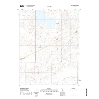
2018 Map of Turlock Lake
USGS Topo · Published 2018About this map
Turlock Lake and its intricate shoreline dominate the northern landscape of this Central California survey. The terrain transitions from the water's edge down through Three Tree Flat into the expansive San Joaquin Valley Central Valley. The drainage system is clearly defined by the winding paths of Dry Creek and Peaslee Cr, which carve through the undulating topography typical of the eastern valley edge.
Find a feature on this map
25 named features on this map. Tap any name to fly to it.
Don’t see what you’re looking for? This feature index may not catch every label — zoom into the map to look around manually.
Map Details
Editions of this 2018 Turlock Lake Map
This is the sole edition of this map. No revisions or reprints were ever made.
Other maps of this area

1893 · Sonora
USGS Topo · 1:125,000

1896 · Sonora
USGS Topo · 1:125,000

1897 · Sonora
USGS Topo · 1:125,000

1898 · Sonora
USGS Topo · 1:125,000

1913 · Dickenson
USGS Topo · 1:31,680

1915 · Paulsell
USGS Topo · 1:31,680

1915 · La Grange
USGS Topo · 1:24,000

1916 · Three Tree Flat
USGS Topo · 1:31,680

1916 · Hopeton
USGS Topo · 1:31,680

1916 · Cressey
USGS Topo · 1:31,680