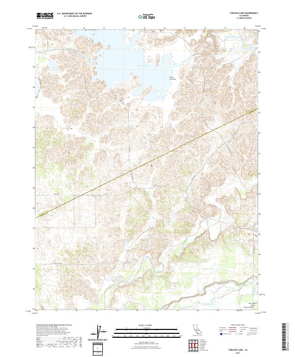
2021 Map of Turlock Lake
USGS Topo · Published 2021About this map
Turlock Lake dominates the northern reaches of this landscape, serving as a focal point for the region's managed water systems. The map illustrates the complex intersection of natural watercourses and man-made infrastructure, such as the Turlock Main Canal and the meandering path of Dry Creek. Situated along the boundary where Stanislaus and Merced counties meet, the terrain transitions from the elevated Three Tree Flat down toward the alluvial expanses of the San Joaquin Valley. Roadways like Cox Ferry Rd and Co Rd J16 provide the primary framework for this rural sector, while smaller features like Ingalsbe Slough and Peaslee Cr offer fine-grained detail for those studying the hydrological history of the central valley.
Find a feature on this map
27 named features on this map. Tap any name to fly to it.
Don’t see what you’re looking for? This feature index may not catch every label — zoom into the map to look around manually.
Map Details
Editions of this 2021 Turlock Lake Map
This is the sole edition of this map. No revisions or reprints were ever made.
Other maps of this area

1893 · Sonora
USGS Topo · 1:125,000

1896 · Sonora
USGS Topo · 1:125,000

1897 · Sonora
USGS Topo · 1:125,000

1898 · Sonora
USGS Topo · 1:125,000

1913 · Dickenson
USGS Topo · 1:31,680

1915 · Paulsell
USGS Topo · 1:31,680

1915 · La Grange
USGS Topo · 1:24,000

1916 · Three Tree Flat
USGS Topo · 1:31,680

1916 · Hopeton
USGS Topo · 1:31,680

1916 · Cressey
USGS Topo · 1:31,680