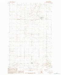
1984 Map of Turner
USGS Topo · Published 1984About this map
Turner serves as the primary hub of this high-plains landscape in Blaine County, Montana, situated near the Canadian border. The 1984 survey documents a specialized agricultural and communal settlement pattern, characterized by the Turner Colony and a network of unimproved roads and trails. The terrain is defined by the ephemeral drainage of Buckley Creek and the meandering path of Little Jewel Coulee, reflecting the arid nature of the Big Flat area. Aviation infrastructure is a critical lifeline for this isolated community, evidenced by multiple Landing Strips appearing on the sheet. This provisional edition preserves the mid-1980s layout of the town site, including essential municipal features like the Sewage Disposal Ponds, providing a clear look at the infrastructure required to sustain a remote prairie township.
Find a feature on this map
7 named features on this map. Tap any name to fly to it.
Don’t see what you’re looking for? This feature index may not catch every label — zoom into the map to look around manually.
Map Details
Editions of this 1984 Turner Map
This is the sole edition of this map. No revisions or reprints were ever made.
Other maps of this area

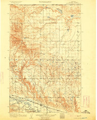
1903 · Wayne Creek
USGS Topo · 1:62,500

1905 · Wayne Creek
USGS Topo · 1:62,500
1913 · Cherry Ridge
USGS Topo · 1:125,000

1920 · Avery
USGS Topo · 1:125,000

1953 · Havre
USGS Topo · 1:250,000

1957 · Havre
USGS Topo · 1:250,000

1958 · Havre
USGS Topo · 1:250,000
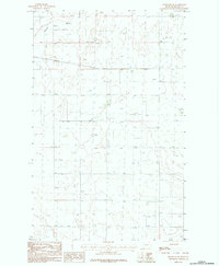
1984 · Hogeland SE
USGS Topo · 1:24,000
1984 · Turner NE
USGS Topo · 1:24,000
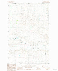
1984 · Down Reservoir NW
USGS Topo · 1:24,000