
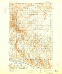
1913 Map of Cherry Ridge
USGS Topo · Published 1913About this map
The United States Canada Boundary Line defines the northern edge of this northern Montana landscape, where the high terrain of Cherry Patch Ridge transitions into a network of coulees and prairie. This 1913 survey documents the early cattle ranching era in Blaine County, marking family-named sites such as Arbagasts Ranch, Reddenbacks Ranch, and Nickols Ranch that were the primary centers of settlement in this arid region.
Find a feature on this map
24 named features on this map. Tap any name to fly to it.
Don’t see what you’re looking for? This feature index may not catch every label — zoom into the map to look around manually.
Map Details
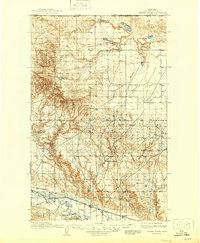
Editions of this 1913 Cherry Ridge Map
3 editions found
Other maps of this area

1903 · Wayne Creek
USGS Topo · 1:62,500

1904 · Chinook
USGS Topo · 1:62,500

1905 · Wayne Creek
USGS Topo · 1:62,500

1905 · Harlem
USGS Topo · 1:62,500

1912 · Zurich
USGS Topo · 1:125,000

1920 · Avery
USGS Topo · 1:125,000

1953 · Havre
USGS Topo · 1:250,000

1956 · Cleveland
USGS Topo · 1:62,500

1957 · Havre
USGS Topo · 1:250,000

1958 · Havre
USGS Topo · 1:250,000