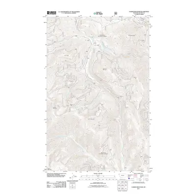
2011 Map of Turner Mountain
USGS Topo · Published 2011About this map
Turner Mountain Ski Area sits at the northeastern edge of this high-elevation terrain in Lincoln County, overlooking a network of drainages and peaks. The landscape is defined by the steep divides between Seventeenmile Creek, Quartz Creek, and its many tributaries, such as Ransome Creek and Hennesey Creek. These waters carve through a succession of named summits, from Loon Peak and Little Tom Mountain to the southern reach of China Mountain.
Find a feature on this map
19 named features on this map. Tap any name to fly to it.
Don’t see what you’re looking for? This feature index may not catch every label — zoom into the map to look around manually.
Map Details
Editions of this 2011 Turner Mountain Map
This is the sole edition of this map. No revisions or reprints were ever made.
Other maps of this area

1920 · Libby
USGS Topo · 1:125,000

1930 · Libby
USGS Topo · 1:125,000

1932 · Libby
USGS Topo · 1:125,000

1957 · Kalispell
USGS Topo · 1:250,000

1960 · Kalispell
USGS Topo · 1:250,000

1961 · Kalispell
USGS Topo · 1:250,000

1963 · Scenery Mountain
USGS Topo · 1:24,000

1963 · Turner Mountain
USGS Topo · 1:24,000

1963 · Sylvanite
USGS Topo · 1:24,000

1963 · Pulpit Mountain
USGS Topo · 1:24,000