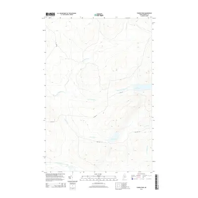
2014 Map of Turner Pond
USGS Topo · Published 2014About this map
The Baker Branch Saint John River winds through the southwestern corner of this Somerset County landscape, anchoring a network of waterways in the North Maine Woods. In 2014, the area remains defined by its isolation and its role in the timber economy, evidenced by the presence of unpaved access routes like St Aurelie Rd and Turner Pond Rd. To the north and east, the terrain is shaped by the drainage of Saint Francis Brook, which feeds into Saint Francis Lake. Several minor watercourses, including Desolation Brook and N Br Campbell Brook, traverse the high ground. Small-scale features like Turner Pond and its namesake Turner Brook provide localized landmarks for those navigating these remote timberlands near the international border.
Find a feature on this map
10 named features on this map. Tap any name to fly to it.
Don’t see what you’re looking for? This feature index may not catch every label — zoom into the map to look around manually.
Map Details
Editions of this 2014 Turner Pond Map
This is the sole edition of this map. No revisions or reprints were ever made.
Other maps of this area

1954 · Baker Lake
USGS Topo · 1:62,500

1954 · Caucomgomoc Lake
USGS Topo · 1:62,500

1954 · Allagash Lake
USGS Topo · 1:62,500

1954 · St. John Pond
USGS Topo · 1:62,500

1954 · Presque Isle
USGS Topo · 1:250,000

1958 · Presque Isle
USGS Topo · 1:250,000

1958 · Caucomgomoc Lake
USGS Topo · 1:62,500

1958 · Saint John Pond
USGS Topo · 1:62,500

1960 · Presque Isle
USGS Topo · 1:250,000

1961 · Allagash Lake
USGS Topo · 1:62,500