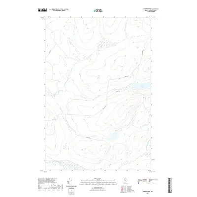
2021 Map of Turner Pond
USGS Topo · Published 2021About this map
Saint Francis Lake and its surrounding wetlands form the center of this Somerset County landscape, where the hydrography is dominated by the headwaters of the Saint Francis Brook and Turner Brook. This remote section of T7 R17 WELS is characterized by a high concentration of unnamed basins and marshlands that feed into larger arteries like the Baker Branch Saint John River. The layout of the road network, including Baker Lake Rd and St Francis Rd, reflects the area's ongoing use for timber management and outdoor access, following the natural contours of the hills and the drainages of Desolation Brook. This modern survey provides a detailed view of the North Maine Woods' hydrology, capturing the precise path of McCampbell Brook as it winds through the forested interior.
Find a feature on this map
11 named features on this map. Tap any name to fly to it.
Don’t see what you’re looking for? This feature index may not catch every label — zoom into the map to look around manually.
Map Details
Editions of this 2021 Turner Pond Map
This is the sole edition of this map. No revisions or reprints were ever made.
Other maps of this area

1954 · Baker Lake
USGS Topo · 1:62,500

1954 · Caucomgomoc Lake
USGS Topo · 1:62,500

1954 · Allagash Lake
USGS Topo · 1:62,500

1954 · St. John Pond
USGS Topo · 1:62,500

1954 · Presque Isle
USGS Topo · 1:250,000

1958 · Presque Isle
USGS Topo · 1:250,000

1958 · Caucomgomoc Lake
USGS Topo · 1:62,500

1958 · Saint John Pond
USGS Topo · 1:62,500

1960 · Presque Isle
USGS Topo · 1:250,000

1961 · Allagash Lake
USGS Topo · 1:62,500