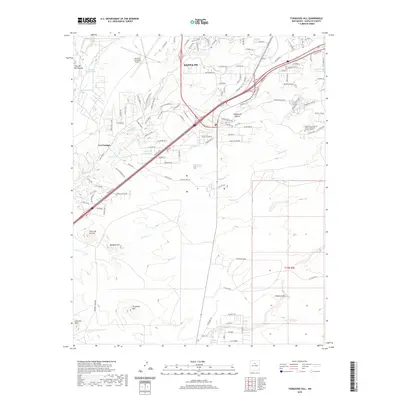
2020 Map of Turquoise Hill
USGS Topo · Published 2020About this map
The Caja del Rio Plateau and the southern outskirts of Santa Fe define this high-desert landscape, where modern transportation infrastructure meets ancient drainage patterns. The industrial and educational presence in the region is marked by the Santa Fe Municipal Airport and the Institute of American Indian and Alaska Native Culture, reflecting the area's diverse cultural and economic roles. Along the Santa Fe Southern Ry corridor, the terrain transitions into the iconic elevations of Turquoise Hill and Bonanza Hill.
Find a feature on this map
119 named features on this map. Tap any name to fly to it.
Don’t see what you’re looking for? This feature index may not catch every label — zoom into the map to look around manually.
Map Details
Editions of this 2020 Turquoise Hill Map
This is the sole edition of this map. No revisions or reprints were ever made.
Other maps of this area

1889 · Santa Fe
USGS Topo · 1:125,000

1892 · San Pedro
USGS Topo · 1:125,000

1892 · Santa Clara
USGS Topo · 1:125,000

1894 · Santa Fe
USGS Topo · 1:125,000

1894 · Lamy
USGS Topo · 1:125,000

1951 · Agua Fria
USGS Topo · 1:24,000

1951 · Turquoise Hill
USGS Topo · 1:24,000

1952 · Santa Fe
USGS Topo · 1:24,000

1952 · Turquoise Hill
USGS Topo · 1:24,000

1952 · Seton Village
USGS Topo · 1:24,000