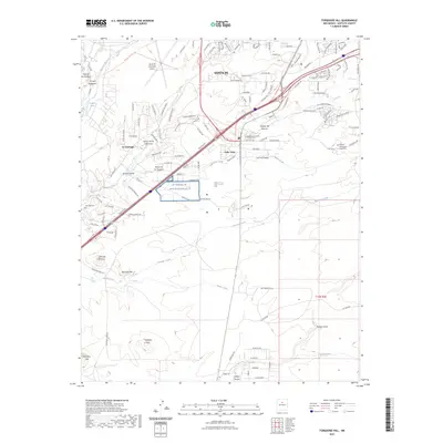
2023 Map of Turquoise Hill
USGS Topo · Published 2023About this map
The high desert landscape south of Santa Fe reveals a complex mix of modern infrastructure and traditional New Mexican settlements. Near the northern margin, the Santa Fe Municipal Airport and the military grounds of the NG Santa Fe - Onate Complex TS represent significant twentieth-century footprints on the land. Moving south, the terrain is defined by the drainage systems of the Santa Fe River, Arroyo Hondo, and Bonanza Creek, which cut through the high plateau.
Find a feature on this map
138 named features on this map. Tap any name to fly to it.
Don’t see what you’re looking for? This feature index may not catch every label — zoom into the map to look around manually.
Map Details
Editions of this 2023 Turquoise Hill Map
This is the sole edition of this map. No revisions or reprints were ever made.
Other maps of this area

1889 · Santa Fe
USGS Topo · 1:125,000

1892 · San Pedro
USGS Topo · 1:125,000

1892 · Santa Clara
USGS Topo · 1:125,000

1894 · Santa Fe
USGS Topo · 1:125,000

1894 · Lamy
USGS Topo · 1:125,000

1951 · Agua Fria
USGS Topo · 1:24,000

1951 · Turquoise Hill
USGS Topo · 1:24,000

1952 · Santa Fe
USGS Topo · 1:24,000

1952 · Turquoise Hill
USGS Topo · 1:24,000

1952 · Seton Village
USGS Topo · 1:24,000