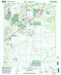
2002 Map of Turquoise Hill
USGS Topo · Published 2003About this map
Arroyos and volcanic plateaus south of the city center define this landscape, where the high desert meets specialized 21st-century infrastructure. The Caja del Rio Plateau overlooks the Santa Fe River as it passes near La Cieneguilla, a region marked by large-scale public institutions including the New Mexico State Penitentiary and the New Mexico National Guard Armory. Cultural preservation is evident at the El Rancho de las Golondrinas Museum and the Institute of American Indian Arts.
Find a feature on this map
63 named features on this map. Tap any name to fly to it.
Don’t see what you’re looking for? This feature index may not catch every label — zoom into the map to look around manually.
Map Details
Editions of this 2002 Turquoise Hill Map
This is the sole edition of this map. No revisions or reprints were ever made.
Other maps of this area

1889 · Santa Fe
USGS Topo · 1:125,000

1892 · San Pedro
USGS Topo · 1:125,000

1892 · Santa Clara
USGS Topo · 1:125,000

1894 · Santa Fe
USGS Topo · 1:125,000

1894 · Lamy
USGS Topo · 1:125,000

1951 · Agua Fria
USGS Topo · 1:24,000

1951 · Turquoise Hill
USGS Topo · 1:24,000

1952 · Santa Fe
USGS Topo · 1:24,000

1952 · Turquoise Hill
USGS Topo · 1:24,000

1952 · Seton Village
USGS Topo · 1:24,000