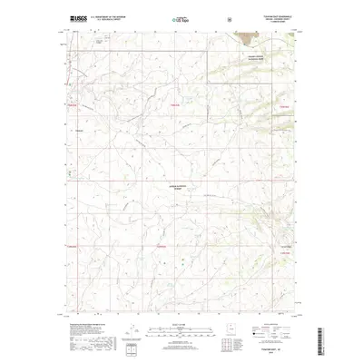
2018 Map of Tusayan East
USGS Topo · Published 2018About this map
Tusayan stands as the primary gateway to the high plateau country of northern Arizona, situated where the high desert meets the dense timber of the Kaibab National Forest. This landscape is defined by the high-elevation drainage of Long Jim Canyon and the prominent Skinner Ridge to the southeast. The map reveals an intricate network of primitive forest tracks, such as Halfway Tank Rd. and Twin Tank Old '302 Rd, which crisscross the territory to serve a series of vital water catchments including McRae Tank, Watson Tank, and Miller Seep Tank.
Find a feature on this map
34 named features on this map. Tap any name to fly to it.
Don’t see what you’re looking for? This feature index may not catch every label — zoom into the map to look around manually.
Map Details
Editions of this 2018 Tusayan East Map
This is the sole edition of this map. No revisions or reprints were ever made.
Other maps of this area
1886 · San Francisco Mtns
USGS Topo · 1:250,000
1886 · Chino
USGS Topo · 1:250,000
1886 · Echo Cliffs
USGS Topo · 1:250,000
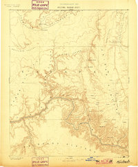
1886 · Kaibab
USGS Topo · 1:250,000
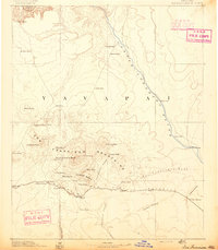
1891 · San Francisco Mtns
USGS Topo · 1:250,000
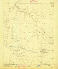
1891 · Chino
USGS Topo · 1:250,000
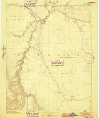
1891 · Echo Cliffs
USGS Topo · 1:250,000
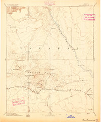
1894 · San Francisco Mtns
USGS Topo · 1:250,000
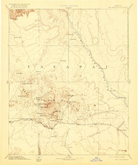
1899 · San Francisco Mtns
USGS Topo · 1:250,000
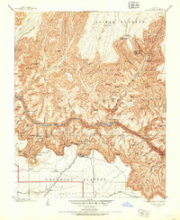
1903 · Bright Angel
USGS Topo · 1:48,000