2024 Map of Tuscaloosa
USGS Topo · Published 2024About this map
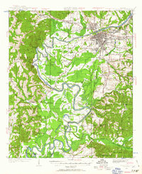
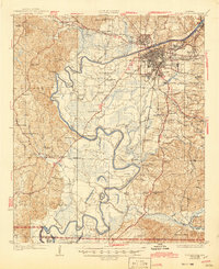
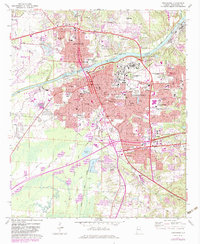
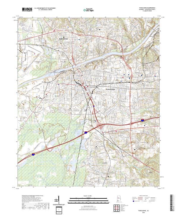
The University of Alabama and Stillman College anchor the urban landscape of Tuscaloosa and Northport along the banks of the Black Warrior River. This modern survey reveals a dense network of educational and civic institutions, including the Shelton State Community College C A Fredd Campus and the Tuscaloosa County Courthouse. Beyond the city center, the terrain is dotted with small family and community burial grounds like Williamson Cem and Shake Rag Cem, which offer significant value for genealogical research. The river remains a central feature, shaped by landmarks like Nelson Bar and the historic locations of Newtown Ferry and McRights Ferry. To the south, the landscape transitions toward Taylorville and the industrial areas surrounding Tuscaloosa National Airport, while water bodies such as Mimosa Lake and Warrior Lake illustrate the complex hydrography of the Alabama fall line.
Find a feature on this map
98 named features on this map. Tap any name to fly to it.
Don’t see what you’re looking for? This feature index may not catch every label — zoom into the map to look around manually.
Map Details
Editions of this 2024 Tuscaloosa Map
This is the sole edition of this map. No revisions or reprints were ever made.
Historical Maps of Academy Drive Through Time
5 maps found