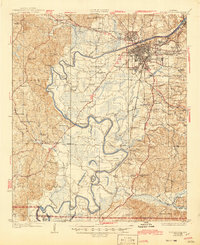
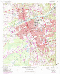
1926 Map of Tuscaloosa
USGS Topo · Published 1945About this map
The Black Warrior River defines the landscape of this 1920s survey, its winding course punctuated by dramatic oxbows like Clement Bend and Snows Bend. This era shows Tuscaloosa and Northport as developing hubs connected by the Mobile and Ohio RR and Southern RR. The presence of the State Hospital and University of Alabama alongside the County Poor Farm reflects the institutional character of the regional center at this time.
Find a feature on this map
81 named features on this map. Tap any name to fly to it.
Don’t see what you’re looking for? This feature index may not catch every label — zoom into the map to look around manually.
Map Details
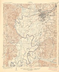
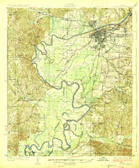
Editions of this 1926 Tuscaloosa Map
3 editions found
Historical Maps of Tuscaloosa Through Time
9 maps found
1924 Tuscaloosa
Tuscaloosa County, AL
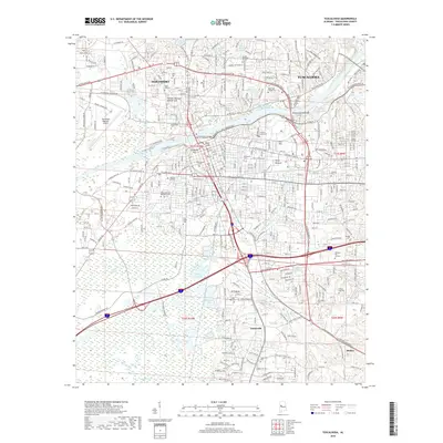
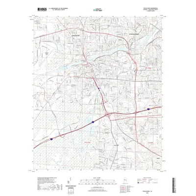
1926 Tuscaloosa
Tuscaloosa County, AL
1971 Tuscaloosa
Tuscaloosa County, AL
1984 Tuscaloosa
Tuscaloosa County, AL
2011 Tuscaloosa
Tuscaloosa County, AL
2014 Tuscaloosa
Tuscaloosa County, AL
2018 Tuscaloosa
Tuscaloosa County, AL
2020 Tuscaloosa
Tuscaloosa County, AL
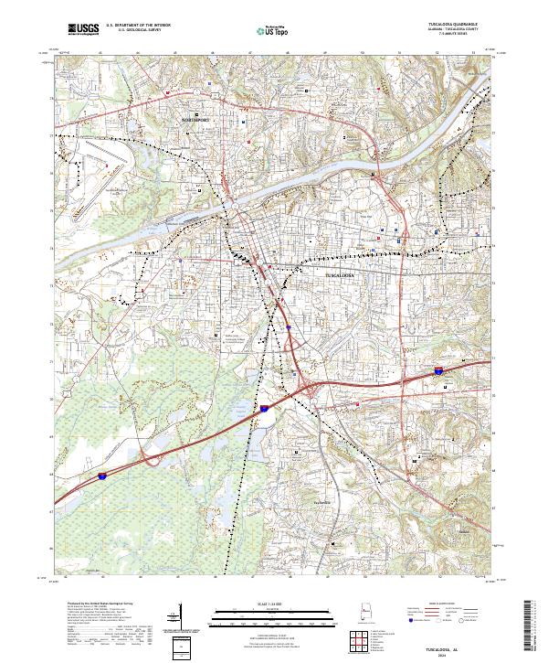
2024 Tuscaloosa
Tuscaloosa County, AL