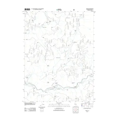
2012 Map of Twain
USGS Topo · Published 2012About this map
The E Br N Fork Feather River and the N Fork Feather River carve deep pathways through Plumas County, defining the settlement patterns of this mountain landscape. Along these corridors, small communities like Twain, Virgilia, and Paxton align with the railroad, where vital infrastructure such as Twain Siding and Tunnel Number 26 supported the movement of goods and people. The map reveals a history of local burial and recreation at the Big Flat Cem and Hallsted Campground, while numerous ravines like Schneider Ravine and Kingsbury Ravine underscore the complex drainage system feeding into the forks of the Feather River. Further north, the settlement of Seneca sits near Kirkham Ravine, marking a transition toward the more remote northern reaches of the quadrangle. Steep terrain features such as Eagle Rock and Rush Creek Hill stand as prominent landmarks above the river valleys, illustrating the geographic challenges faced by early builders of the Seneca Rd and Kingsbury Grade.
Find a feature on this map
52 named features on this map. Tap any name to fly to it.
Don’t see what you’re looking for? This feature index may not catch every label — zoom into the map to look around manually.
Map Details
Editions of this 2012 Twain Map
This is the sole edition of this map. No revisions or reprints were ever made.
Other maps of this area

1886 · Honey Lake
USGS Topo · 1:250,000

1886 · Lassen Peak
USGS Topo · 1:250,000

1888 · Bidwell Bar
USGS Topo · 1:125,000

1891 · Bidwell Bar
USGS Topo · 1:125,000

1891 · Downieville
USGS Topo · 1:125,000

1891 · Honey Lake
USGS Topo · 1:250,000

1892 · Lassen Peak
USGS Topo · 1:250,000

1893 · Bidwell Bar
USGS Topo · 1:125,000

1893 · Honey Lake
USGS Topo · 1:250,000

1893 · Downieville
USGS Topo · 1:125,000