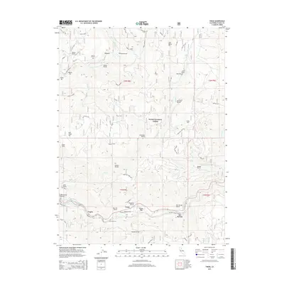
2015 Map of Twain
USGS Topo · Published 2015About this map
The N Fork Feather River carves a deep path through the Plumas County mountains, defining the geography of small riverside settlements like Twain and Virgilia. This portion of the Plumas National Forest is characterized by a high density of named ravines and gulches, reflecting a long history of surface and subterranean exploration. The mining legacy is evident at the Sunnyside Mine near Meeker Bar and the Monitor Mine to the east. Transportation through this difficult terrain is facilitated by the rail line featuring Tunnel Number 26 and several specialized forest roads, including the Greenville Twain Spur. Near the historic settlement of Seneca, the Big Flat Cemetery serves as a quiet marker of the early families who occupied these isolated flats and bars along the river forks.
Find a feature on this map
63 named features on this map. Tap any name to fly to it.
Don’t see what you’re looking for? This feature index may not catch every label — zoom into the map to look around manually.
Map Details
Editions of this 2015 Twain Map
This is the sole edition of this map. No revisions or reprints were ever made.
Other maps of this area
1886 · Honey Lake
USGS Topo · 1:250,000
1886 · Lassen Peak
USGS Topo · 1:250,000
1888 · Bidwell Bar
USGS Topo · 1:125,000
1891 · Bidwell Bar
USGS Topo · 1:125,000
1891 · Downieville
USGS Topo · 1:125,000
1891 · Honey Lake
USGS Topo · 1:250,000
1892 · Lassen Peak
USGS Topo · 1:250,000
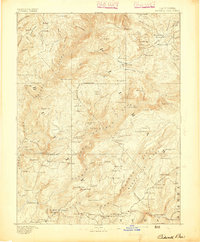
1893 · Bidwell Bar
USGS Topo · 1:125,000
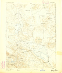
1893 · Honey Lake
USGS Topo · 1:250,000
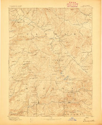
1893 · Downieville
USGS Topo · 1:125,000