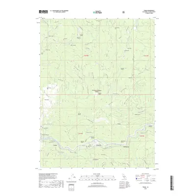
2018 Map of Twain
USGS Topo · Published 2018About this map
Seneca and the surrounding mining country of Plumas County define this landscape along the N Fork Feather River. The rugged topography is etched with numerous ravines and gulches, including Marion Ravine and Rich Gulch, reflecting a history of resource extraction shown by the Grizzly Mines and Monitor Mine. Linear settlements like Virgilia, Grays Flat, and Twain follow the river corridors and the rail line, which pierces the terrain at Tunnel Number 26. This layout illustrates the critical reliance on narrow canyon floors for both transportation and habitation in the Plumas National Forest. Local history is preserved at the Big Flat Cem and named flats such as Halsted Flat, which provide level ground amidst the steep slopes of Cold Spring Hill and Rush Creek Hill.
Find a feature on this map
60 named features on this map. Tap any name to fly to it.
Don’t see what you’re looking for? This feature index may not catch every label — zoom into the map to look around manually.
Map Details
Editions of this 2018 Twain Map
This is the sole edition of this map. No revisions or reprints were ever made.
Other maps of this area
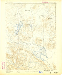
1886 · Honey Lake
USGS Topo · 1:250,000
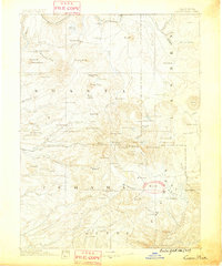
1886 · Lassen Peak
USGS Topo · 1:250,000
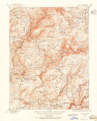
1888 · Bidwell Bar
USGS Topo · 1:125,000
1891 · Bidwell Bar
USGS Topo · 1:125,000
1891 · Downieville
USGS Topo · 1:125,000
1891 · Honey Lake
USGS Topo · 1:250,000
1892 · Lassen Peak
USGS Topo · 1:250,000
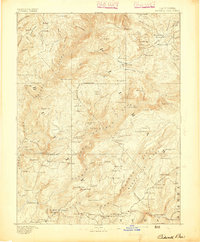
1893 · Bidwell Bar
USGS Topo · 1:125,000
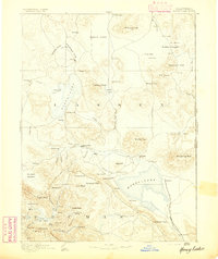
1893 · Honey Lake
USGS Topo · 1:250,000
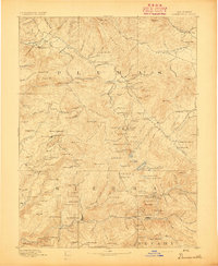
1893 · Downieville
USGS Topo · 1:125,000