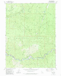
1980 Map of Twain
USGS Topo · Published 1985About this map
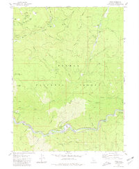
Mining operations and the Western Pacific railroad dominate this section of the Plumas National Forest in the early 1980s. The landscape is defined by the steep canyons of the North Fork Feather River and the East Branch North Fork Feather River, where industry has left a permanent mark. Settlement is concentrated along these watercourses, notably at Twain and Grays Flat, which serve as vital nodes for transport and resource extraction. Evidence of the region’s gold-seeking history is widespread, from the Dutch Hill Mine and Virgilia Mine to the vast tailings piles and tunnels like Logan Tunnel. The placement of Twain Siding and Paxton Siding along the riverbanks illustrates how the railroad leveraged the narrow canyons to connect these remote mountain outposts to the broader industrial network of Northern California.
Find a feature on this map
71 named features on this map. Tap any name to fly to it.
Don’t see what you’re looking for? This feature index may not catch every label — zoom into the map to look around manually.
Map Details
Editions of this 1980 Twain Map
2 editions found
Other maps of this area

1886 · Honey Lake
USGS Topo · 1:250,000

1886 · Lassen Peak
USGS Topo · 1:250,000

1888 · Bidwell Bar
USGS Topo · 1:125,000

1891 · Bidwell Bar
USGS Topo · 1:125,000

1891 · Downieville
USGS Topo · 1:125,000

1891 · Honey Lake
USGS Topo · 1:250,000

1892 · Lassen Peak
USGS Topo · 1:250,000

1893 · Bidwell Bar
USGS Topo · 1:125,000

1893 · Honey Lake
USGS Topo · 1:250,000

1893 · Downieville
USGS Topo · 1:125,000